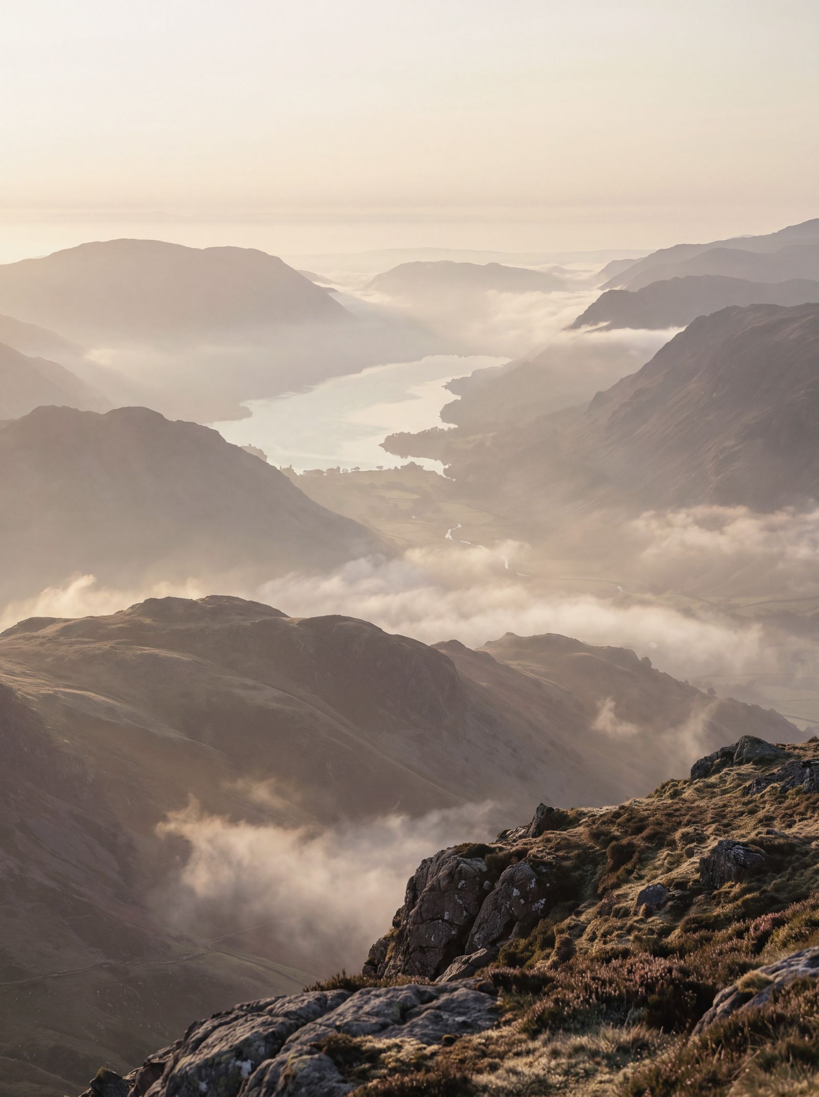
Walla Crag from Keswick
Along the shore of Derwentwater, up beside Cat Gill to Walla Crag and home by Brockle Beck: 9km from our Keswick shop, with one steep climb.
Walla Crag is the craggy fell above the east shore of Derwentwater, 379m high and close enough to walk from the shop and be back for lunch. It is small by Lake District standards, but the top looks straight down on the lake and across to Catbells, and you earn it with one short, steep climb.
- Start and finish: Swift & Hale Keswick
- Distance: about 9km (5½ miles)
- Ascent: about 340m (1,100ft), most of it in one steep kilometre beside Cat Gill
- Time: 3 to 3½ hours with stops
- Terrain: pavement, lakeshore paths that flood in places after heavy rain, woodland paths, a steep stepped path with rock and tree roots, a clear path on open fell, then a lane back into town
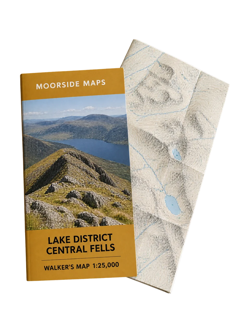
- Map: Moorside Maps Lake District North West
The route
- From the shop, walk down Lake Road to the lake and follow the shore round to Friar's Crag, the rocky point with the view south into Borrowdale.
- Carry on along the shore path. It leaves the water in places to cross fields and woods, and comes back to the shore at Calfclose Bay, where a big split boulder sits by the water. Cross the Borrowdale road with care, as traffic is fast, and go up into Great Wood.
- From the Great Wood car park, take the path south through the trees to the footbridge over Cat Gill, then climb the path up the north side of the gill. It is steep and stepped, with rock and roots that are slippery when wet, and climbs about 250m in a kilometre. Take your time and stop to look back at the lake.
- The path comes out near the top. The summit, at 379m, looks down on Derwentwater, with Catbells and the Newlands fells across the water and Skiddaw to the north. The crag drops away steeply on the lake side, so keep children and dogs close.
- Cross over the wall and follow the broad path north, with the wall on your left and Blencathra ahead. It drops steeply in places to the end of the lane at Rakefoot.
- A short way down the lane, take the path on the left, cross Brockle Beck on a footbridge and follow the beck down through the woods past Springs Farm. Springs Road brings you back into the town centre.
A gentler way up
If the Cat Gill steps sound like too much, walk up the other way. From the town, follow Springs Road past Springs Farm and up beside Brockle Beck to Rakefoot, then the path to the top, and come back the same way. It is about 7.5km there and back, the climb is steadier than Cat Gill, and it suits a first fell walk or a wet day.
Led walks
From April to October we lead this walk on the first Sunday of the month, leaving the shop at 9.30am and back by about 1pm. In winter the Tuesday evening head torch walk follows the first part of the route as far as Friar's Crag. Led walks are free for Club members, with a qualified leader and a first aider on every one. Book in the app or at the till, and see led walks for what else is on.
Before you go
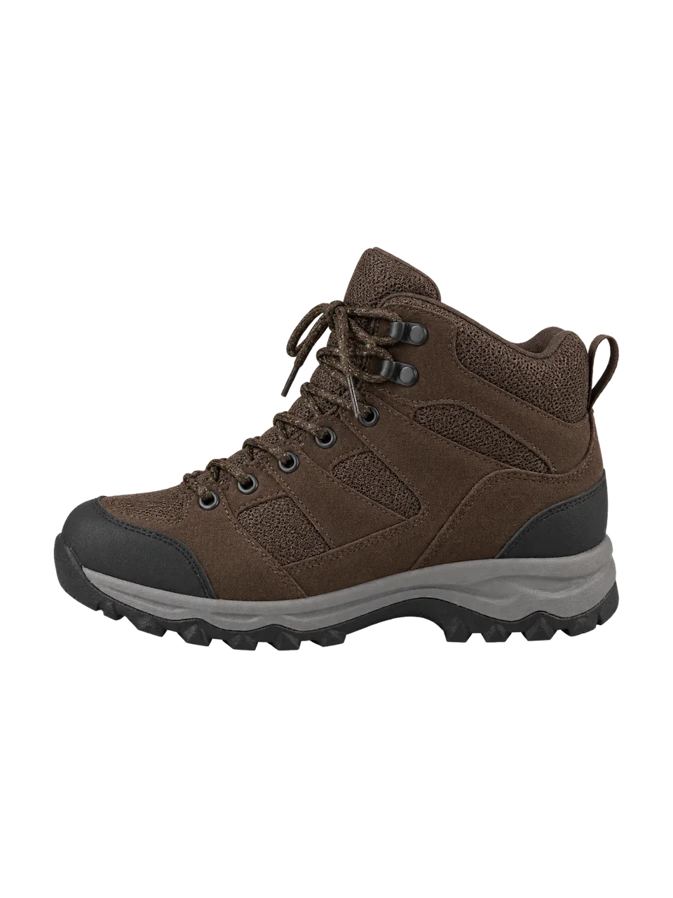
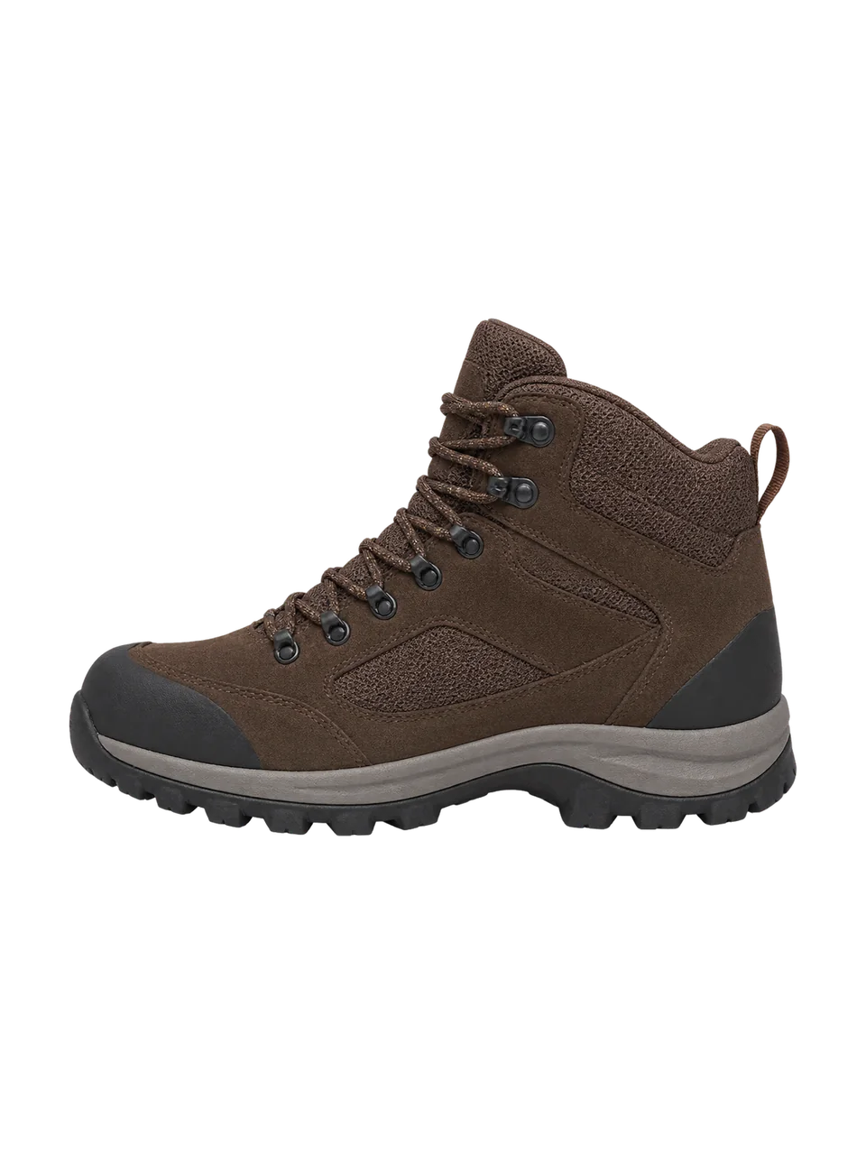
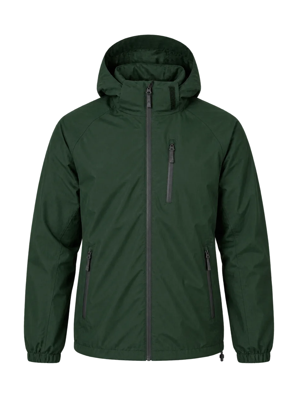
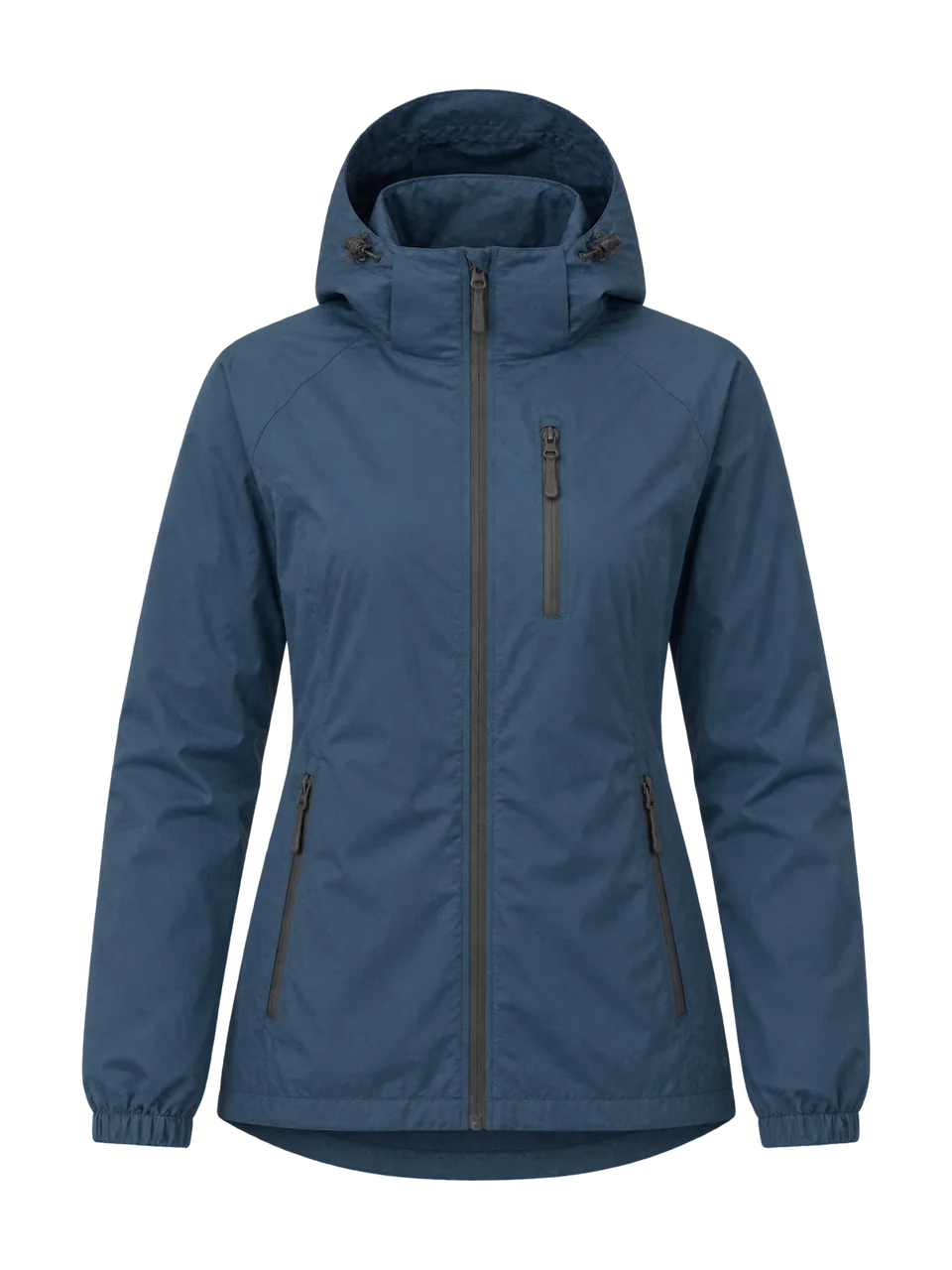
Conditions change fast in the fells. Check the fell forecast on the morning you go, and if the cloud is down to the treetops, save the top for another day and keep to the lake shore. The Cat Gill path runs with water after heavy rain, and parts of the shore path go under water when the lake is high. Sheep graze the open fell, so keep dogs on leads above the wall. Wear boots with a good grip for the steps, and bring a waterproof and a warm layer even on a fine morning, because the top is a lot windier than the town.
The Keswick shop has a repair bench, so if a buckle snaps or a zip goes on the walk, you can drop it in on the way home.