
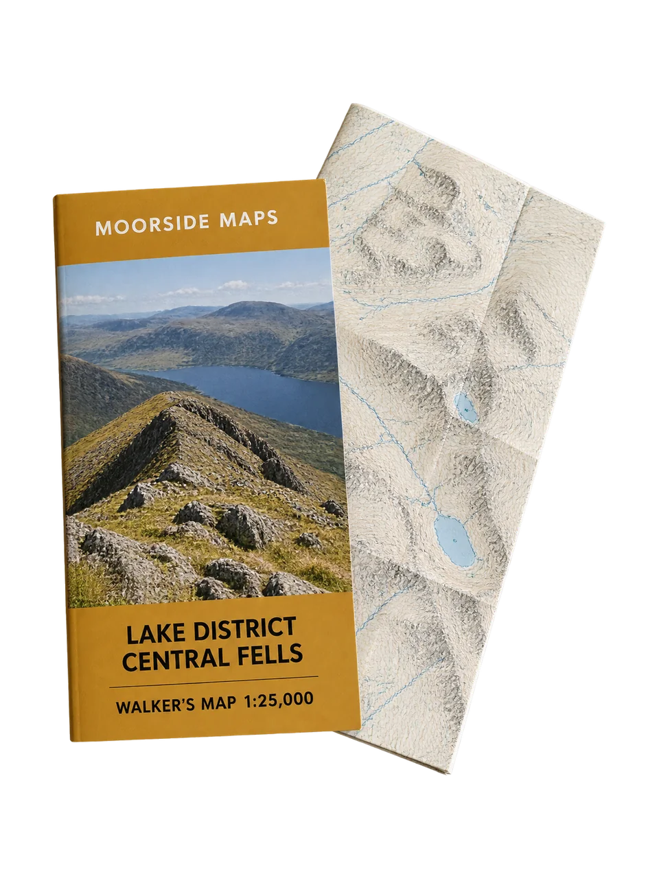
Lake District Central Fells Walker's Map 1:25,000
Unisex
Rated 4.7 out of 5 4.7 (167)
£15.99
The central Lake District fells, Keswick to Ambleside, at 1:25,000 on a waterproof sheet.
Free click and collect from all 128 shops, usually the next day.
- Free delivery on orders over £50, next day for £6.95.
- 60 days to return anything unused.
About this product
This sheet puts Scafell Pike, Great Gable, the Langdale Pikes, Helvellyn and Borrowdale on one map, so most of the classic days in the central fells need nothing else. Side A runs north to Keswick, side B south to Ambleside and Coniston.
Crags are drawn in detail, and every fifth contour is thicker to make steep ground easier to read at a glance. Printed on tear-resistant synthetic paper, 2026 edition.
- Scafell, Gable, Langdale and Helvellyn on one sheet
- Detailed crag drawing for steep ground
- Index contours every 50m
- Synthetic paper that folds wet and takes pencil
Specification
| Scale | 1:25,000 |
|---|---|
| Coverage | Central Lake District, Keswick to Ambleside and Coniston |
| Format | Two-sided, folded |
| Sheet size | 96 x 126cm |
| Folded size | 13 x 24cm |
| Contour interval | 10m, index every 50m |
| Grid | British National Grid, 1km squares |
| Weight | 125g |
| Edition | 2026 |
| Product code | NS1002 |
Materials
Printed on polyethylene synthetic paper with water-resistant inks.
Care
Refold on the original creases. Dry it flat if it has been soaked.
Reviews
4.7 out of 5
167 reviews
Reviews on this demo are invented, like everything else here.
5 out of 5
Everything on one sheet
I used to carry two maps for a day from Seathwaite over Gable and back by Sty Head. Now it's one. The crag detail is better than the map I had before.
Helen, Keswick · 7 September 2025 · Walks in Borrowdale
More maps and guidebooks
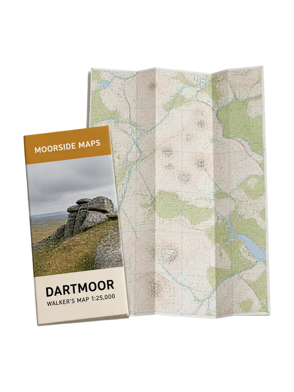 Moorside MapsDartmoor Walker's Map 1:25,000
£15.99
Rated 4.8 out of 5 4.8 (203)
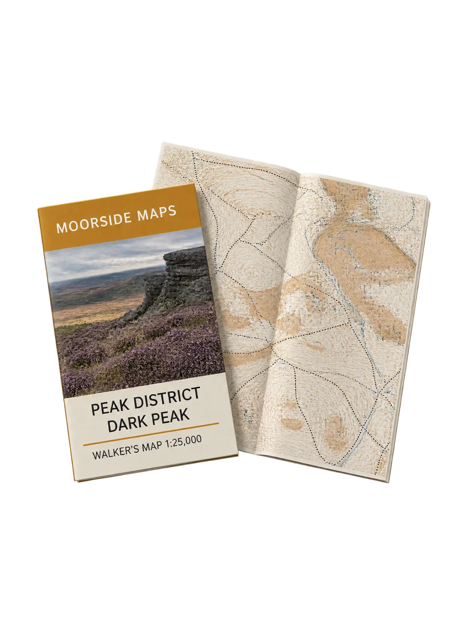 Moorside MapsPeak District Dark Peak Walker's Map 1:25,000
£15.99
Rated 4.7 out of 5 4.7 (141)
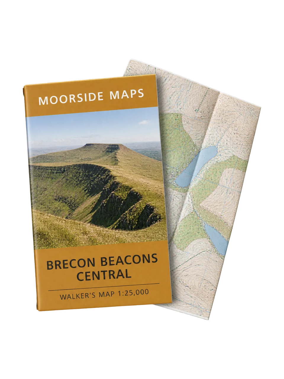 Moorside MapsBrecon Beacons Central Walker's Map 1:25,000
£15.99
Rated 4.6 out of 5 4.6 (88)
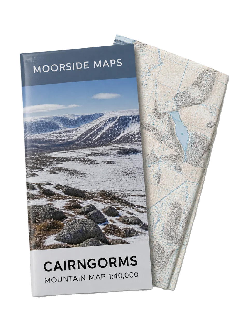 Moorside MapsCairngorms Mountain Map 1:40,000New this season
£15.99
Rated 4.8 out of 5 4.8 (3)