Maiden Castle from Dorchester
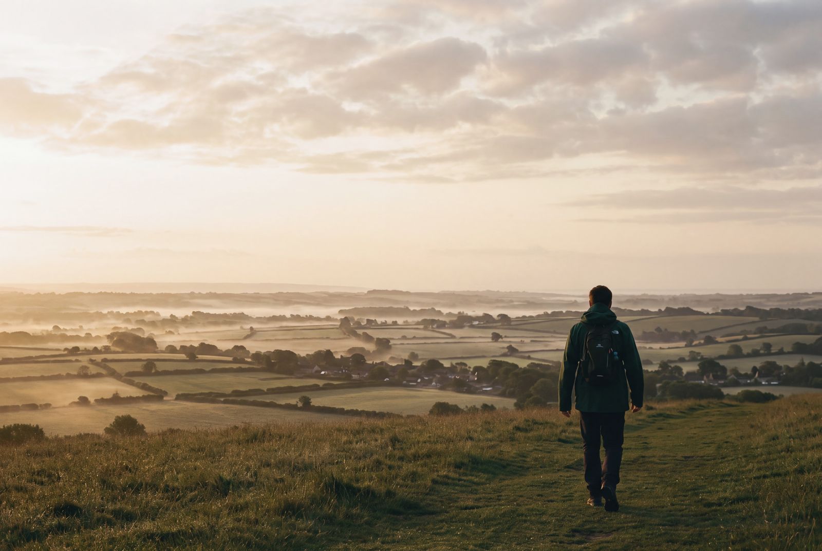
A ten-mile loop from our Dorchester shop by Maiden Castle, Martinstown and the South Dorset Ridgeway, or six miles if you start at the hill fort car park.
Maiden Castle is two miles from our Dorchester shop, and plenty of people walk out to it and back. This loop goes further. From the foot of the hill fort it heads west to Martinstown, climbs to the South Dorset Ridgeway for the view of Portland, and comes back over Maiden Castle from the west end, which is the best way to see how big the ramparts are.
- Start and finish: Swift & Hale Dorchester, or the Maiden Castle car park at the end of Maiden Castle Road
- Distance: about 16km (10 miles) from the shop, or 9.5km (6 miles) from the car park
- Ascent: about 220m (720ft)
- Time: 5 to 5½ hours from the shop with a lunch stop, or about 3 hours from the car park
- Terrain: pavement and a lane out of town, farm tracks, field paths and steep grass banks on the hill fort. The chalk is slippery when wet and the fields are muddy after rain.
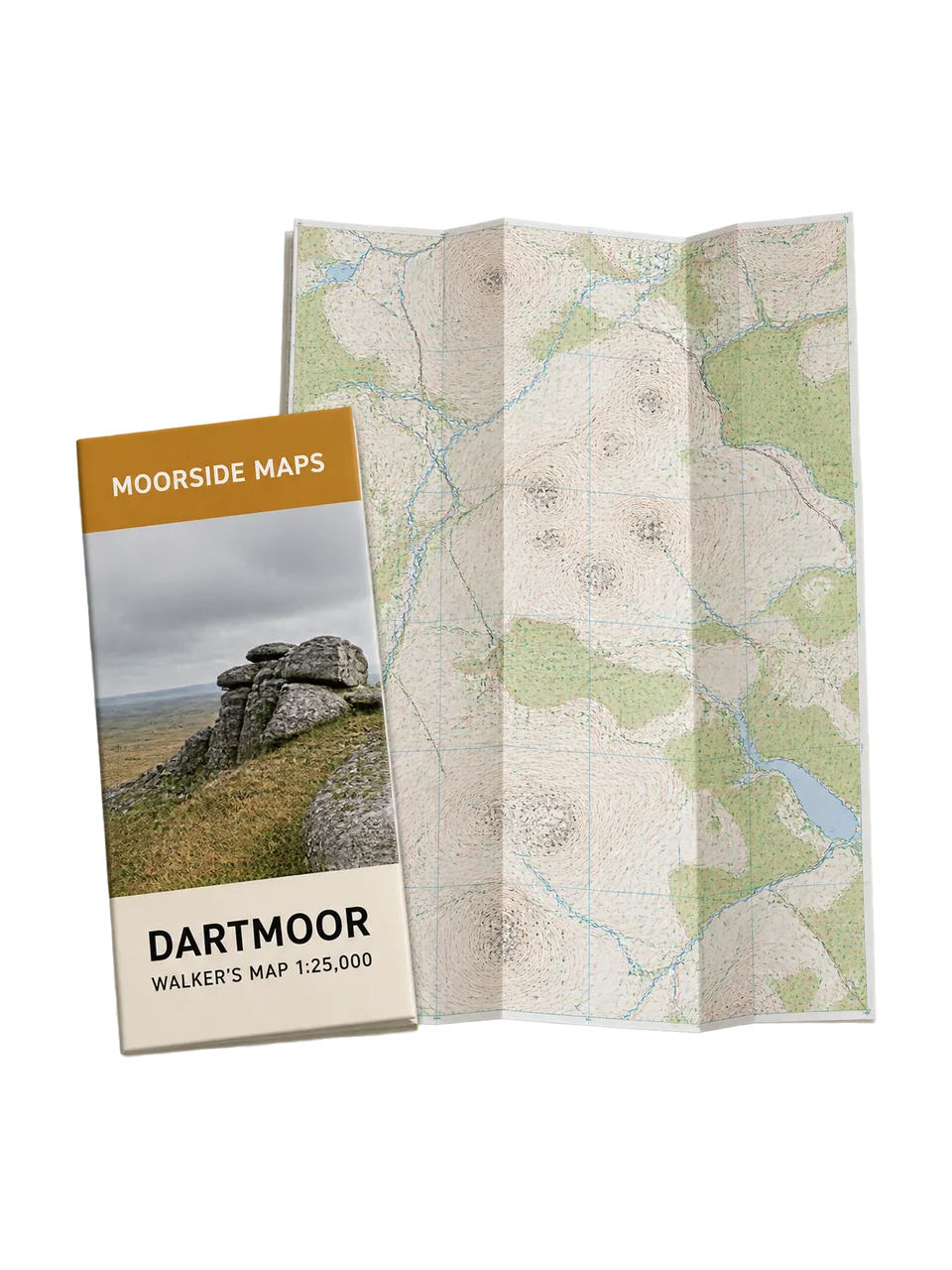
- Map: Moorside Maps South Dorset
The route
- From the shop, walk south through the town to Maumbury Rings, a Neolithic henge that the Romans made into an amphitheatre. Maiden Castle Road starts a short way beyond it and takes you out of town, over the bypass and up to the hill fort car park. Cars use the lane to reach the car park, so walk in single file.
- From the car park, climb towards the fort, keep right, and follow the footpath sign away from the castle through a gap in the trees. At the top of the field you can look back north over Poundbury. Drop to a crossroads of tracks, go left through the gate and follow the track round Clandon Farm. The large round barrow close on your left is Clandon Barrow.
- Go straight over the small junction at the end of the track and cross two fields. Martinstown (its parish name is Winterborne St Martin) comes into view below, with the 15th-century tower of St Martin's church. Follow the track past the houses to the village road and turn right to the church.
- Take the track almost opposite the church. It leaves the village, drops to a small wood and then climbs through fields dotted with barrows towards the pylons on the skyline. This is the longest climb of the day.
- At the field corner at the top you meet the South Dorset Ridgeway. On a clear day you can see the Isle of Portland and the Channel to the south. Turn east along the brow for just under half a mile, past a barrow and then a pair of twin barrows.
- Turn north-east across the fields towards Higher Ashton Farm, with Maiden Castle filling the view ahead. Follow the farm road out, turn left on the lane, then fork right downhill to the South Winterborne. The name means a stream that runs in winter, and this chalk stream is often dry by late summer.
- Where the lane bends sharply, take the footpath gate on the right and climb onto the west end of Maiden Castle. Walk east along the top. Near the eastern entrance are the low foundations of a Romano-British temple, easy to miss in long grass. Come down to the car park and walk back into town the way you came.
Maiden Castle
It is one of the largest Iron Age hill forts in Europe, about the size of 50 football pitches, and people began building its banks about 2,400 years ago. There is no charge, and you can walk on it at any reasonable time in daylight. Sheep graze the fort, so dogs must be on a lead. There is no shelter, toilet or drinking water anywhere on the hill.
The holloways
People often ask us where the holloways are. The best known are in west Dorset: Hell Lane and Shute's Lane run north from Symondsbury, near Bridport, worn deep into soft sandstone. They are about half an hour's drive west of Dorchester, and this walk doesn't go near them. Ask at the shop and we will mark them on your map.
Led walks
On Saturdays at 9.30am the shop leads a shorter walk out to Maiden Castle and back, home by 2pm. On the third Saturday of the month from April to September, that walk becomes this full loop instead, back by about 3.30pm. Bring a packed lunch, which we eat in Martinstown. Led walks are free for Club members and every one has a qualified leader and a first aider. Book in the app or at the till, and see led walks for more.
Before you go
Conditions change, even on a walk this close to town. Check the forecast and the state of the paths before you set out, and turn back if the weather closes in. The Ridgeway and the top of the fort are exposed in a westerly wind, and the rampart banks are steep and greasy after rain. Walking shoes with a good grip are fine in a dry spell, and boots are better after wet weather. Carry water, as there is nowhere to fill a bottle on the hill fort or the Ridgeway, and keep dogs on leads in fields with sheep or cattle.