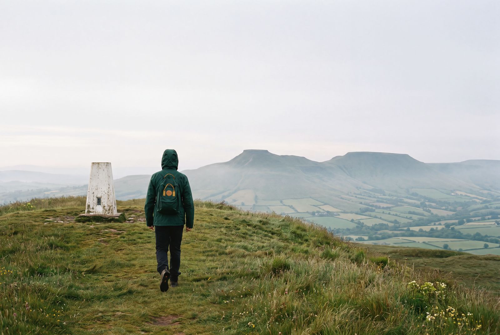
Pen y Crug and the canal, Brecon
A hill fort above the town, then a flat towpath to the Brynich Aqueduct: about 13km from our Brecon shop, and easy to split in two.
Plenty of visitors to Brecon drive straight out to Pen y Fan. This walk stays low and starts at the shop door. In the morning it climbs Pen y Crug, the hill fort above the town, where on a clear day the flat tops of Pen y Fan and Corn Du stand up to the south. After lunch it follows the canal out to the aqueduct over the Usk and back. The national park has used its Welsh name, Bannau Brycheiniog, since 2023, and you will see both names on signs.
- Start and finish: Swift & Hale Brecon
- Distance: about 13km (8 miles): 5km for the hill fort loop, 7km there and back on the towpath, and the walk through town between them
- Ascent: about 200m (650ft), nearly all of it on the way up Pen y Crug
- Time: 4 to 4½ hours with a stop for lunch
- Terrain: pavement and lanes, a track and grass paths on the hill, field paths, then a surfaced towpath that is flat all the way
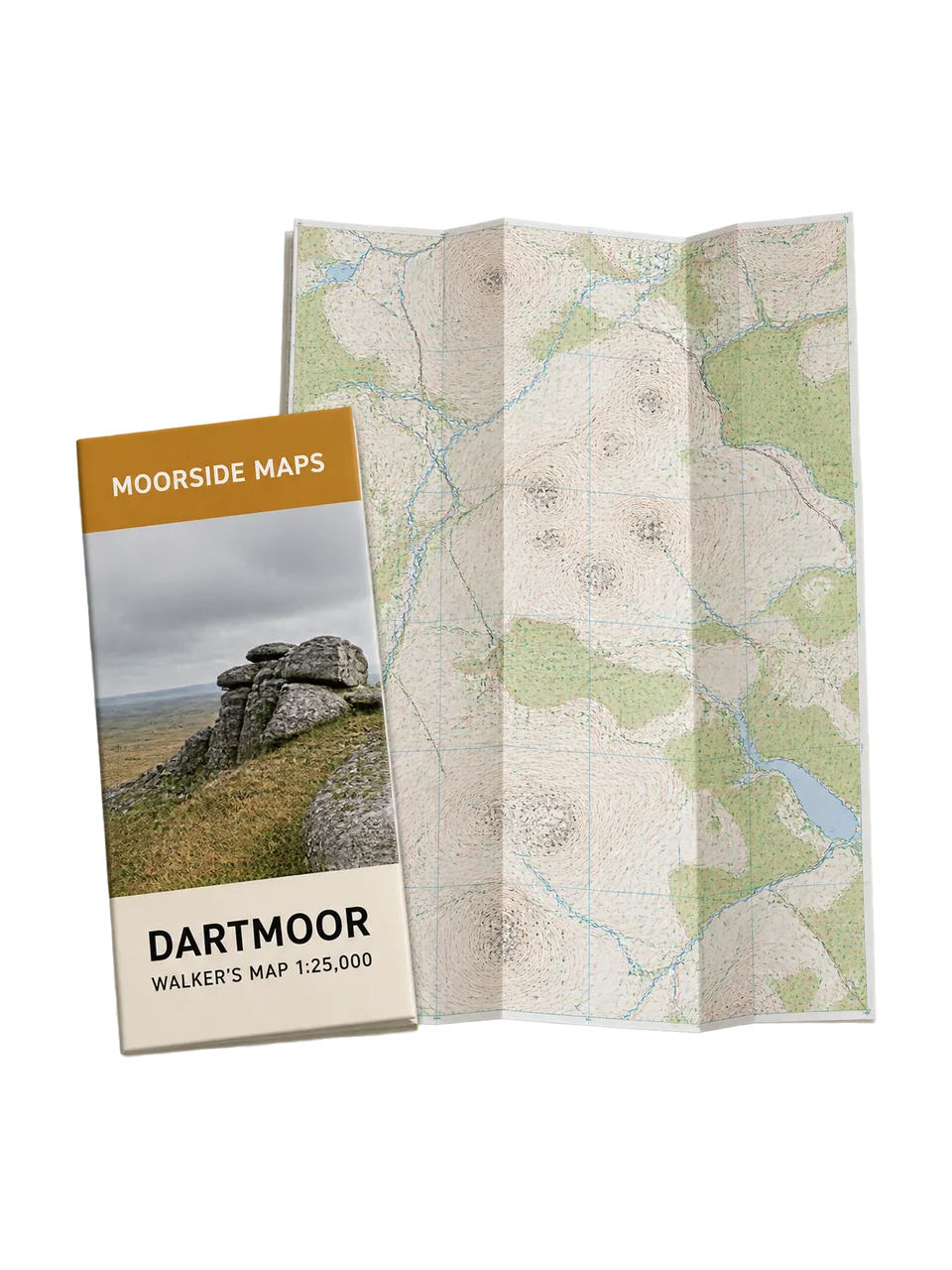
- Map: Moorside Maps Brecon Beacons Central
The hill fort
- From the shop, walk up to the cathedral and follow Pendre (the B4520) north out of town. About 600m past the cathedral, turn left on a surfaced lane heading north-west. After another 600m, turn left again on a narrower track that leads out onto the open hill.
- A clear path crosses the ramparts to the trig point on top, at 331m. Pen y Crug is an Iron Age hill fort, with several rings of banks and ditches and a single entrance on the south-east side. Below you are the town and the Usk valley, with the central Beacons beyond.
- Leave the top on the path heading south-west to the edge of the open ground, then follow the signed footpath across the fields to Maen-du Well. It is a small stone well house with 1754 carved by the door, and the spring is said to have supplied Brecon Castle.
- Carry on to the road and follow the streets of the housing estate back down to Pendre and the cathedral, then walk down through the town to the canal basin by the theatre. This is a good place to stop for lunch.
The canal
- The basin is the end of the Monmouthshire and Brecon Canal. Follow the towpath east, under the double arch of Watton Bridge and past a picnic site with old lime kilns, to Brynich Bridge.
- Just past Brynich Lock, restored in 1958, the Brynich Aqueduct carries the canal over the River Usk on four stone arches. It was built in 1800. Look over the side at the river, then turn round and walk back to the basin, 3.5km away, and up into town.
Two shorter walks
Either half works on its own. The hill fort loop from the shop is about 5km and has all the climbing. The towpath to the aqueduct and back is 7km and flat, which makes it the better choice when the cloud is down on the hills.
Led walks
On Saturdays at 10am the shop runs a map and compass session on Pen y Crug, a good way to learn to read the ground. We lead this full walk on the last Sunday of the month from March to October, leaving the shop at 9.30am and back by about 2pm. Led walks are free for Club members, with a qualified leader and a first aider on every one. Book in the app or at the till, and see led walks for the rest of the programme.
Before you go
Conditions change, even on a hill this size. Pen y Crug is open to the wind, and cloud that covers Pen y Fan can reach the town as well, so check the forecast before you set out and save the hill for a clearer day if you need to. Keep dogs under close control on the hill and on a lead near livestock. On the canal, the towpath is shared with cyclists and there is no fence between it and the water, so keep children close. The towpath is sometimes closed for repairs, so check before you go if you plan to walk it.